Pattoki: District Reporter Sadaf Arshad | ReNews Pakistan
Under the initial boundary delineation of the Municipal Committee Pattoki, several areas have been officially included, notably Chak 19, Chak 35, and Old Pattoki. The move is intended to facilitate better administrative management, ensure the efficient delivery of urban services, and organize municipal affairs more effectively.
According to the preliminary map released by the Municipal Committee, government lands, union council boundaries, and residential and agricultural areas have been clearly demarcated. The included Chaks and older parts of Pattoki have been assigned specific administrative jurisdictions to manage municipal services, urban planning, and land disputes efficiently.
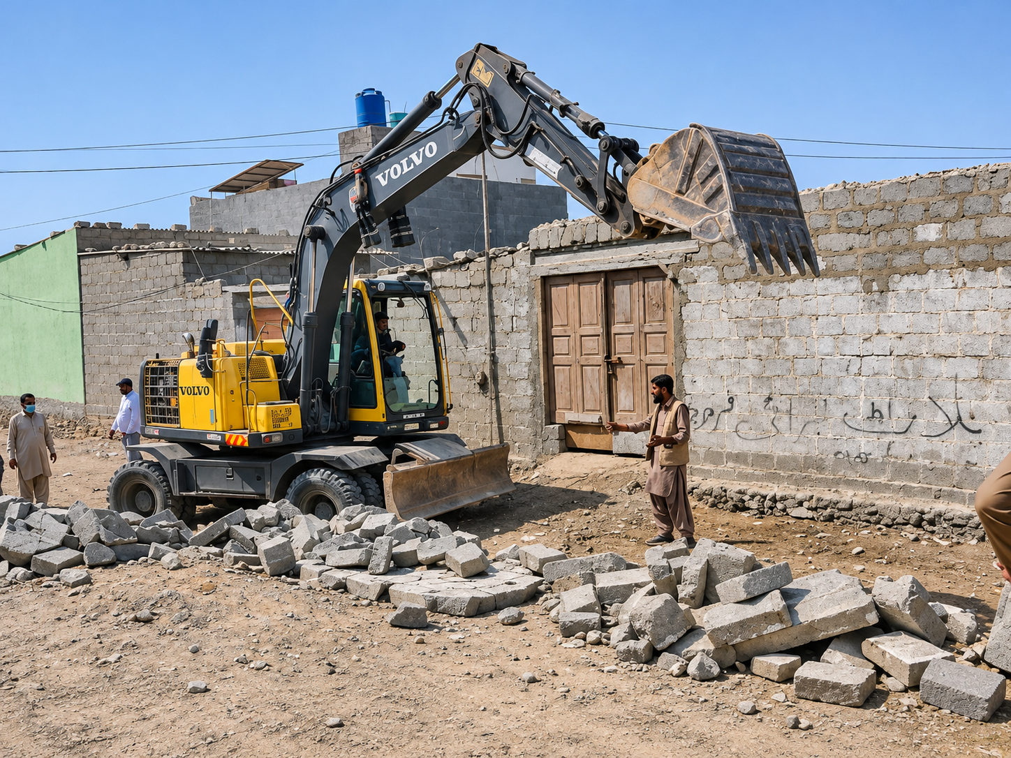
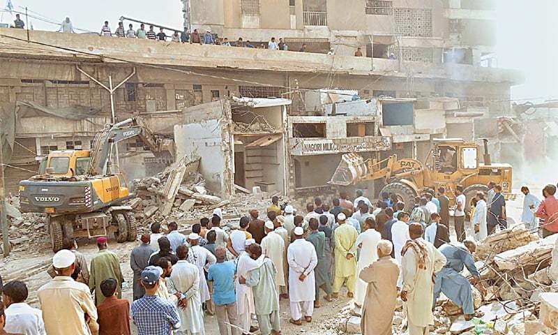
The Municipal Committee Pattoki has also continued operations against illegal occupations and encroachments within its limits. In December 2025, unauthorized shops and other encroachments were removed, and citizens were instructed to comply with regulations and respect government land. The Punjab government’s initiative to define initial municipal boundaries aims to reduce land-related disputes and enable more effective urban management.
Chak 19, Chak 35, and Old Pattoki are included in the initial boundaries of Municipal Committee Pattoki.
Actions against encroachments continue under the designated legal jurisdiction.
Official boundary maps are not publicly accessible but are maintained by the Municipal Committee and LG&CD Punjab.

Published: January 9, 2026 - 12:23 PM
Initial Boundaries of Municipal Committee Pattoki Include Chak 19, Chak 35, and Old Pattoki
پتوکی میں میونسپل کمیٹی کی ابتدائی حد بندی: چک 19، چک 35 اور پتوکی کہنہ شامل
▫️ Governmental Division Aims to Improve Administrative Efficiency and Urban Services ▫️ Operations Against Encroachments Continue, Local Governance Streamlined
Pattoki: District Reporter Sadaf Arshad | ReNews Pakistan Under the initial boundary delineation of the Municipal Committee Pattoki, several areas have been officially included, notably Chak 19, Chak 35, and Old Pattoki. The move is int...